“O come, let us sing unto the LORD: let us make a joyful noise to the rock of our salvation. Let us come before
His presence with thanksgiving, and make a joyful noise unto Him with psalms.
For the LORD is a great God, and a great King above all gods.
In His hand are the deep places of the earth: the strength of the hills is His also. The sea is His, and He made it: and
His hands formed the dry land.
O come, let us worship and bow down: let us kneel before the LORD our maker.” Psalm 95:1-6, KJV.
(All English Bible verses are from the King James Version, KJV, Bible translation.)
Photo Credits:
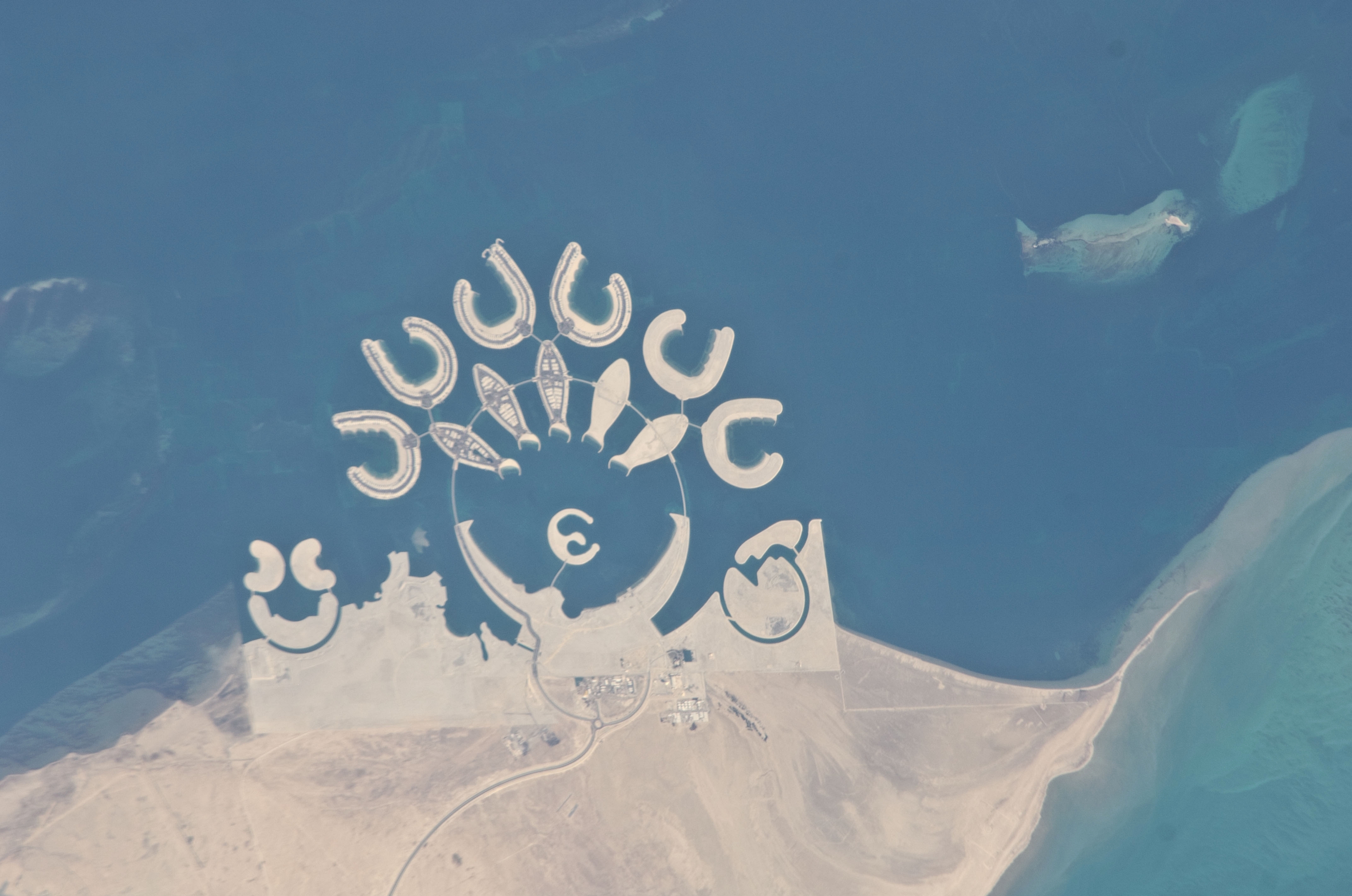
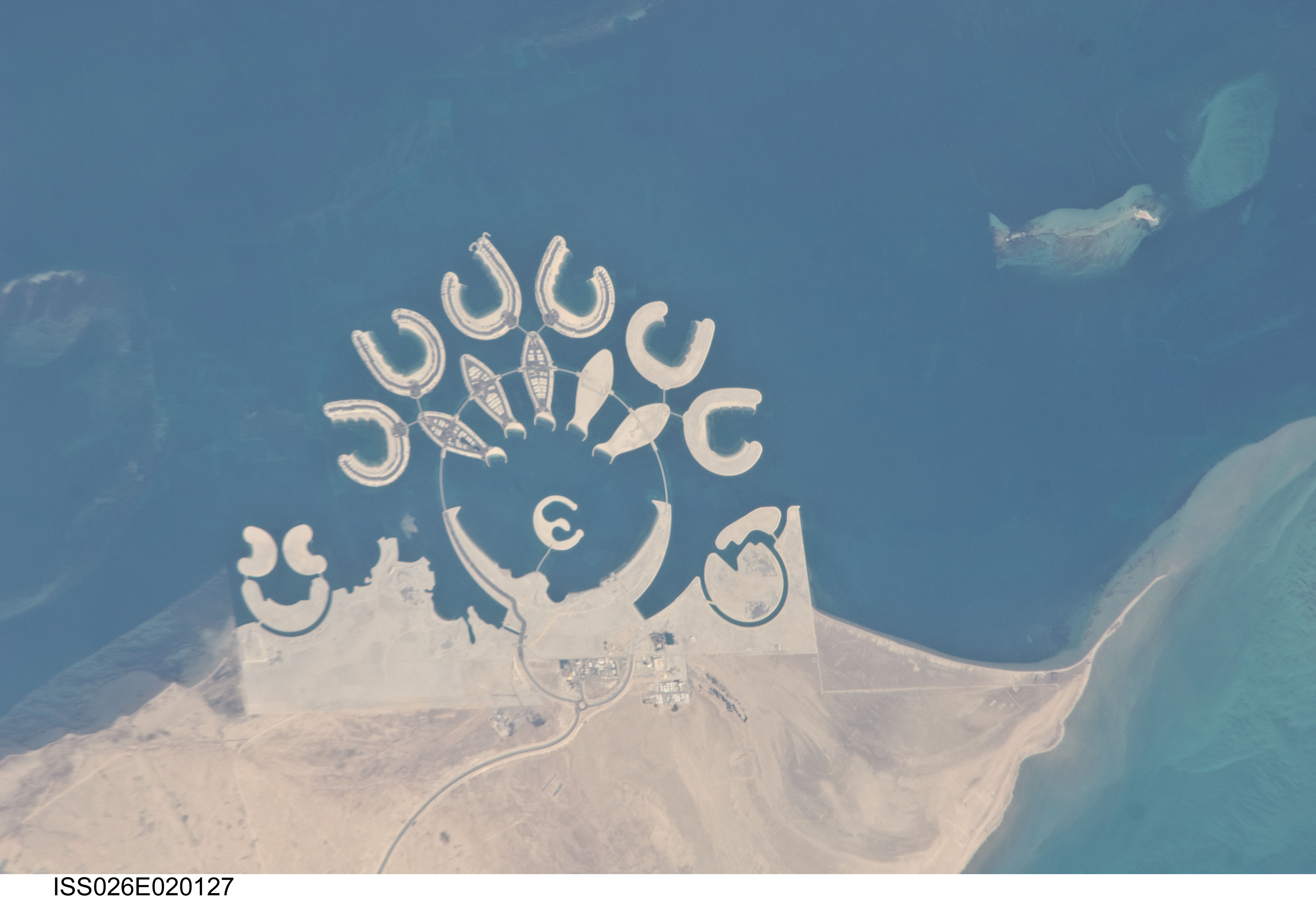
1. First Row (Full size Original–Local copy, Huge, Large, Medium, or Other): NASA; ISS026-E-20127, International Space Station (Expedition 26); Image Science and Analysis Laboratory, NASA-Johnson Space Center. "Astronaut Photography of Earth - Display Record." <http://eol.jsc.nasa.gov/scripts/sseop/photo.pl?mission=ISS026&roll=E&frame=20127>; National Aeronautics and Space Administration (NASA, http://www.nasa.gov), Government of the United States of America (USA).
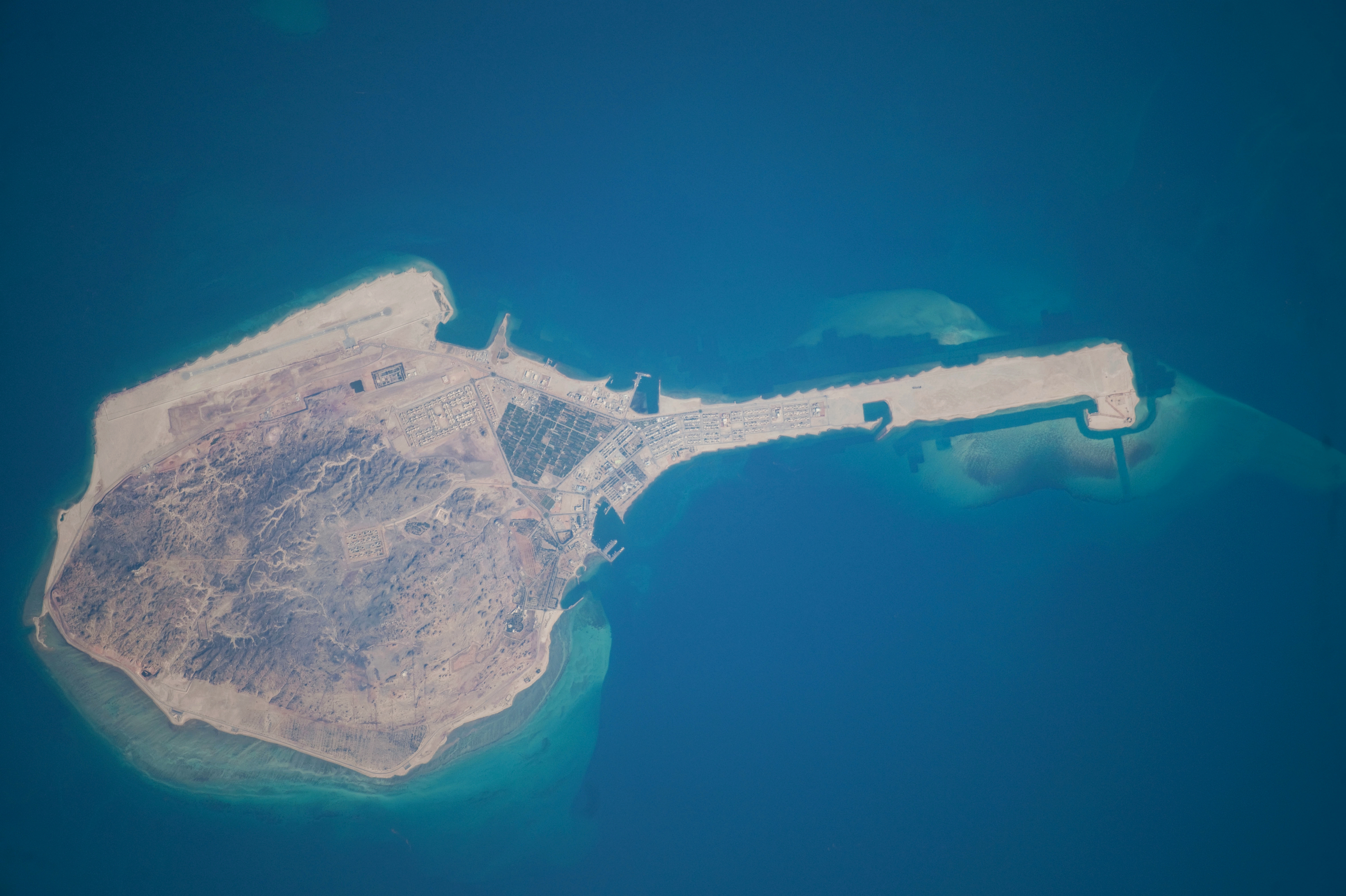
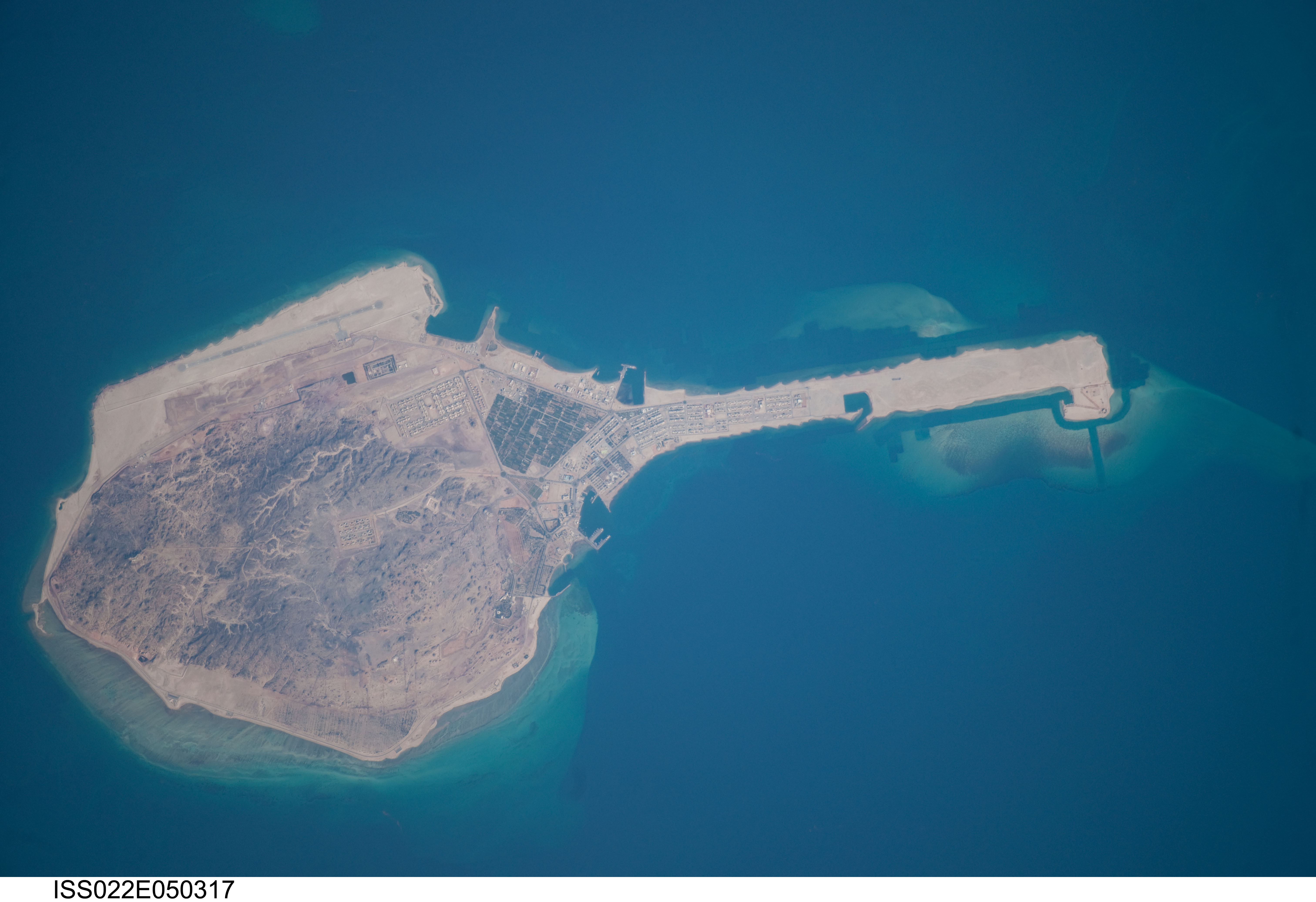
2. Second Row (Full size Original–Local copy, Huge, Large, Medium, or Other): NASA; ISS022-E-50317, Island of Dalma, International Space Station (Expedition 22); Image Science and Analysis Laboratory, NASA-Johnson Space Center. "Astronaut Photography of Earth - Display Record." <http://eol.jsc.nasa.gov/scripts/sseop/photo.pl?mission=ISS026&roll=E&frame=20127>; National Aeronautics and Space Administration (NASA, http://www.nasa.gov), Government of the United States of America (USA).
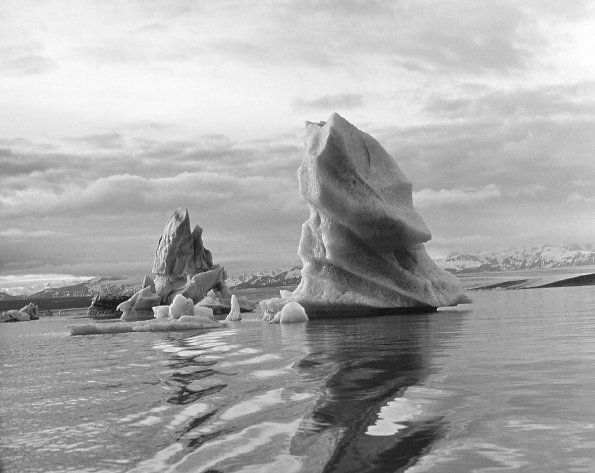
3. Third Row (Full size Original–Local copy, Large, Medium, or Other): Florian Maldonado, U.S. Geological Survey; USGS Multimedia Gallery (http://gallery.usgs.gov), United States Geological Survey (USGS, http://www.usgs.gov), United States Department of the Interior (http://www.doi.gov), Government of the United States of America (USA).
The Manguaguan na Palabran Si Yuus Archive
The Great Earthquake and Catastrophic Tsunami of 2004
The Spectacular Clouds of the Transonic Flight Regime
The Chamorro Bible In Print

